
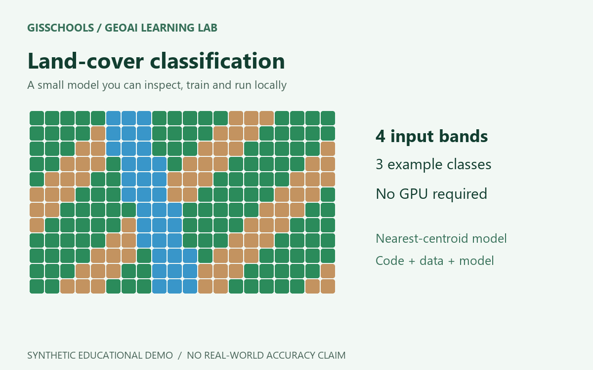
Synthetic Land-cover Classifier - Learning Demo
Learn the complete train-and-predict workflow with a small, transparent model and synthetic land-cover samples. Includes Python code, data and a downloadable JSON model.
Explore published GISSchools content associated with this exact Tag.
Showing only published content with this exact existing Tag relationship.
Learn the complete train-and-predict workflow with a small, transparent model and synthetic land-cover samples. Includes Python code, data and a downloadable JSON model.

Download free high-resolution satellite imagery from Google, Bing, and Esri using SAS Planet. This step-by-step guide shows how to select an area, download tiles, and export Geo…

Explore how AI and GIS technologies are addressing the urban heat island effect through the use of satellite imagery, real-time sensors, and predictive cooling strategies. Learn…

Understand how satellites monitor global change in this earth observation guide. Ideal for environmental GIS professionals.

Understand raster data structure in GIS including pixels, bands, and formats. Essential for remote sensing and analysis.

Understand raster data structure in GIS including pixels, bands, and formats. Essential for remote sensing and analysis.