3 models
Detection
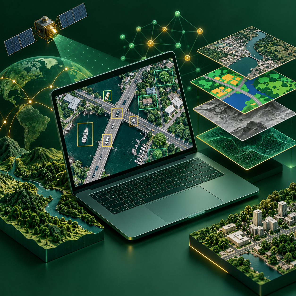
Find and locate individual objects in imagery, from buildings and vehicles to ships and trees.
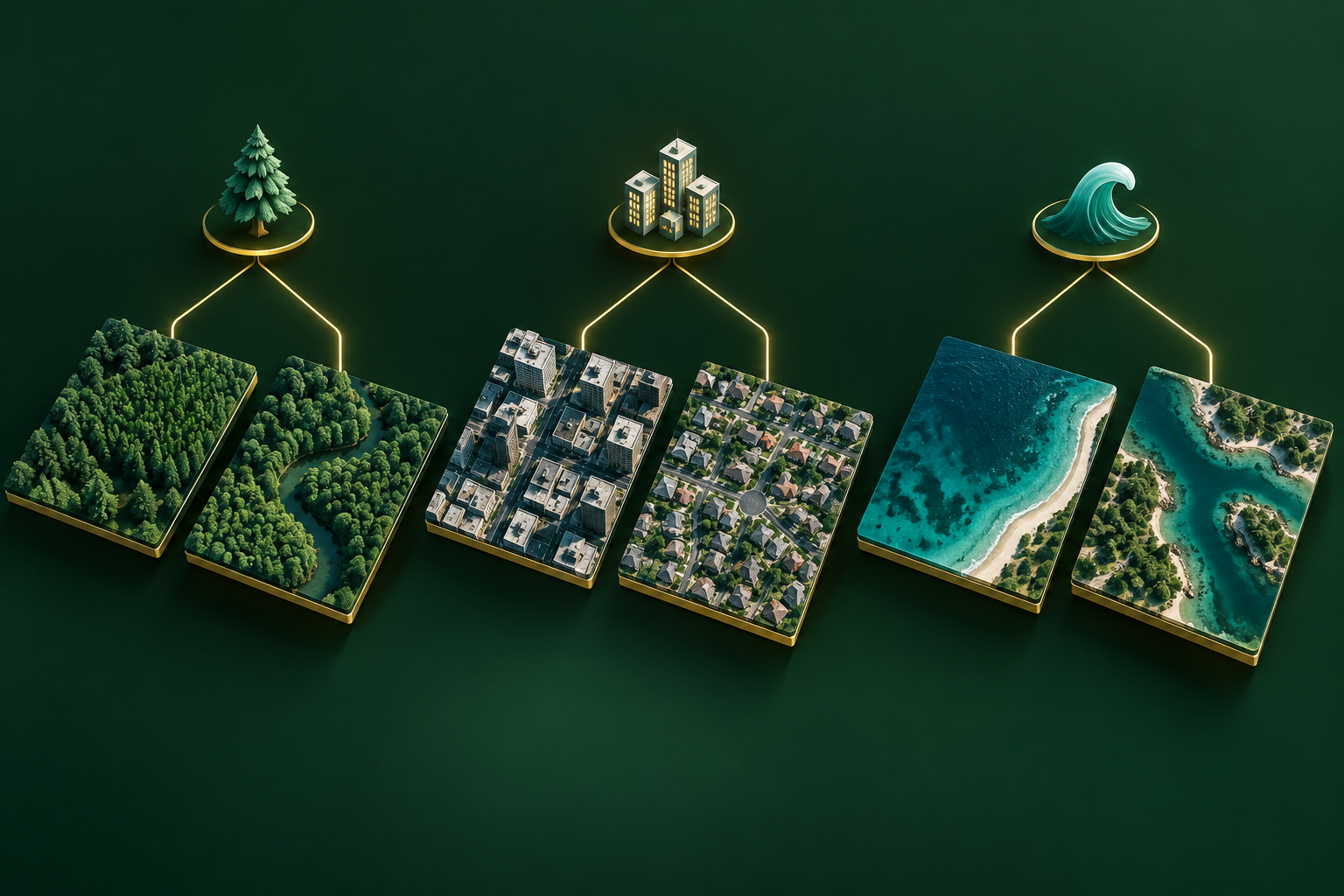
Understand the task, explore model families and learn how to train and use them. Start with a category, then discover practical guides, image examples and model resources.
12 task categories · 26 published models
Read the category guide or browse its available models.
Find and locate individual objects in imagery, from buildings and vehicles to ships and trees.
Assign class labels to image tiles or feature samples, such as water, vegetation or built-up land.
Create a class map by assigning a label to every pixel, such as water, road, vegetation or building.
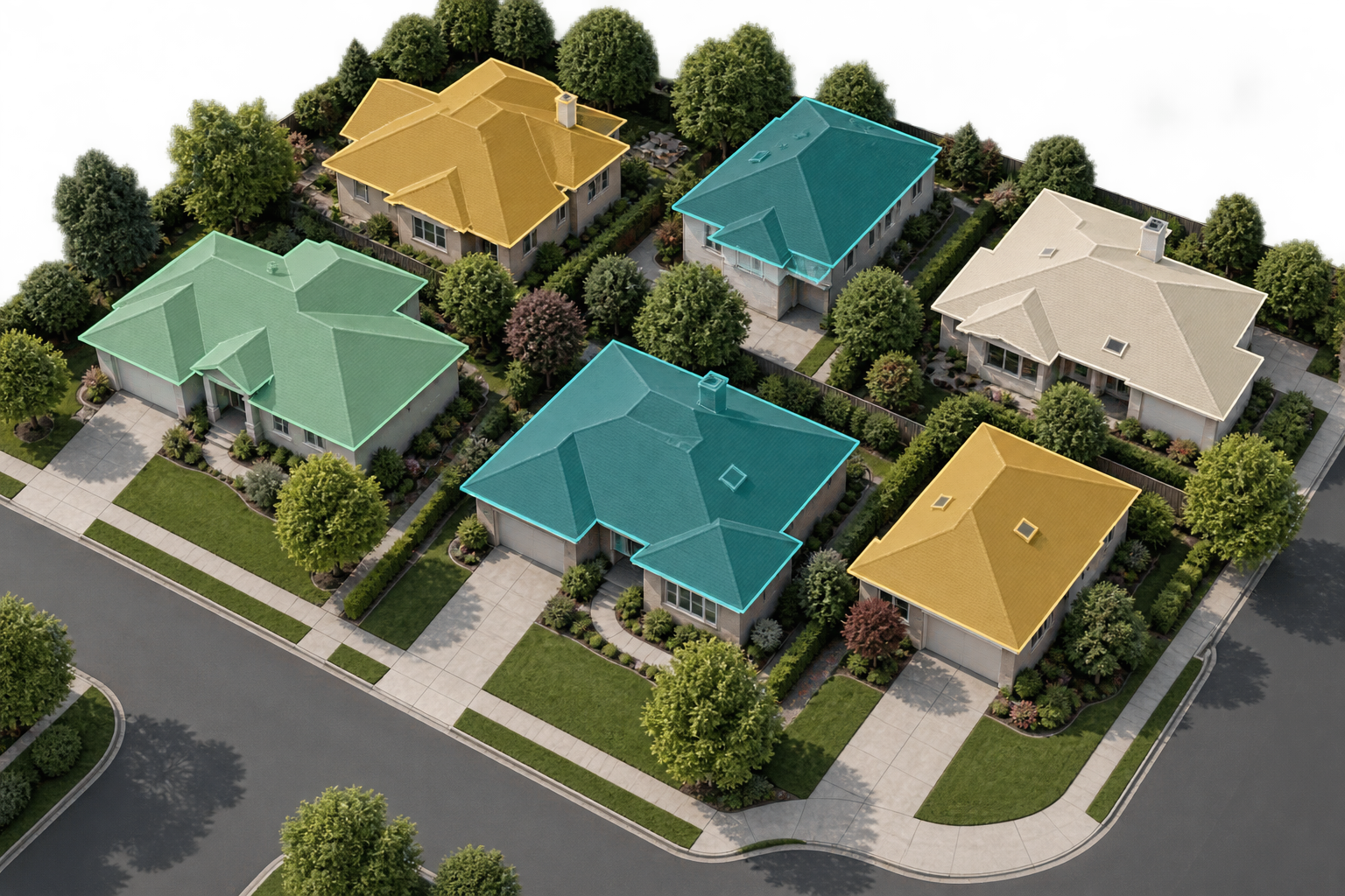
Trace each object with its own mask, keeping neighbouring buildings, trees or other instances separate.
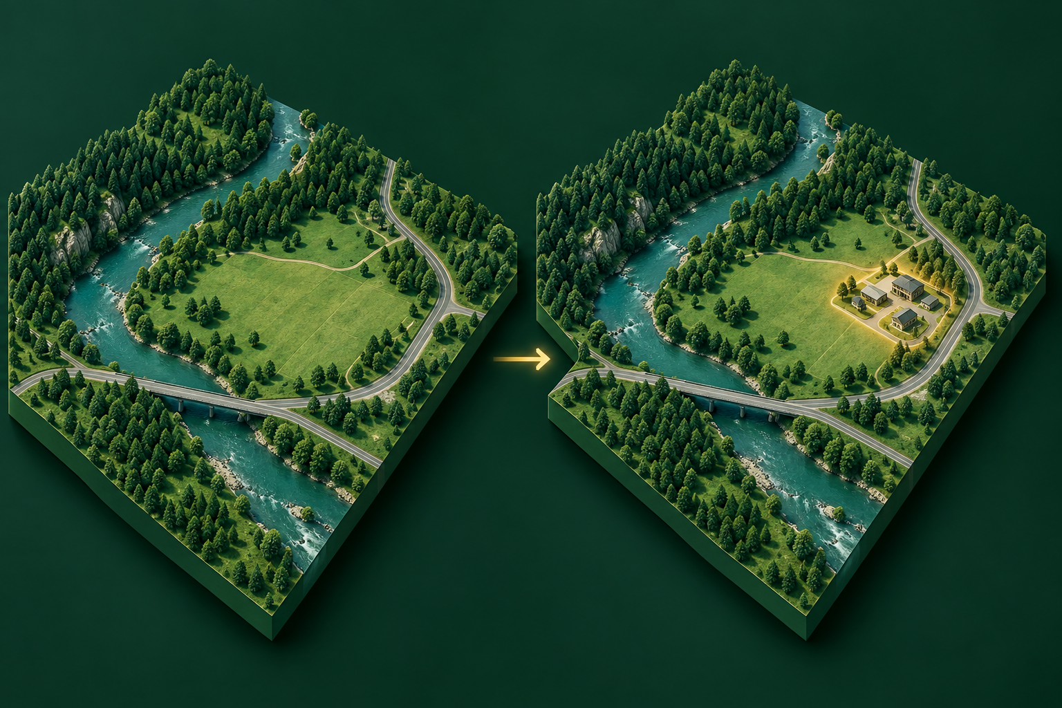
Compare the same place across dates to find construction, vegetation loss or other meaningful changes.
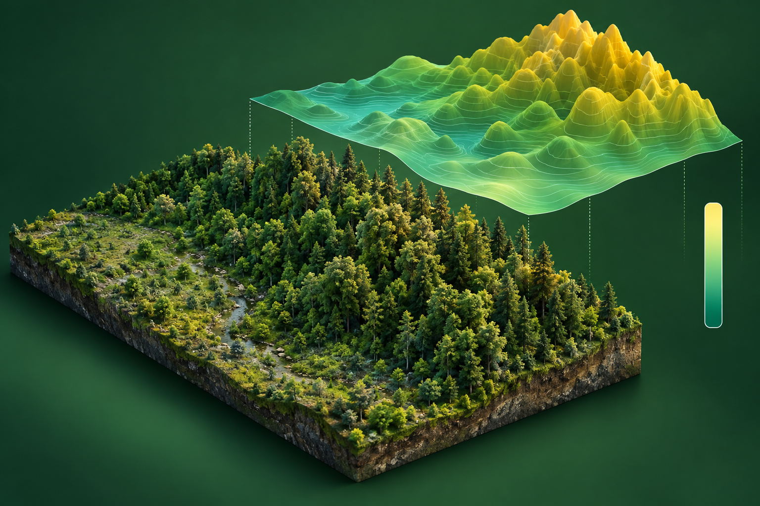
Predict numerical quantities such as canopy height, biomass or another measured environmental variable.
Label 3D points in LiDAR and survey clouds to distinguish terrain, buildings, vegetation and other scene classes.
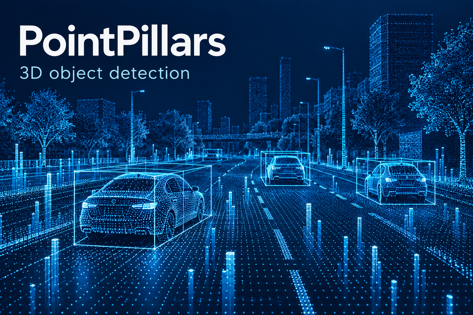
Locate objects in three-dimensional space using LiDAR or other depth measurements.
Predict future sensor values and their uncertainty from time-stamped observations.