
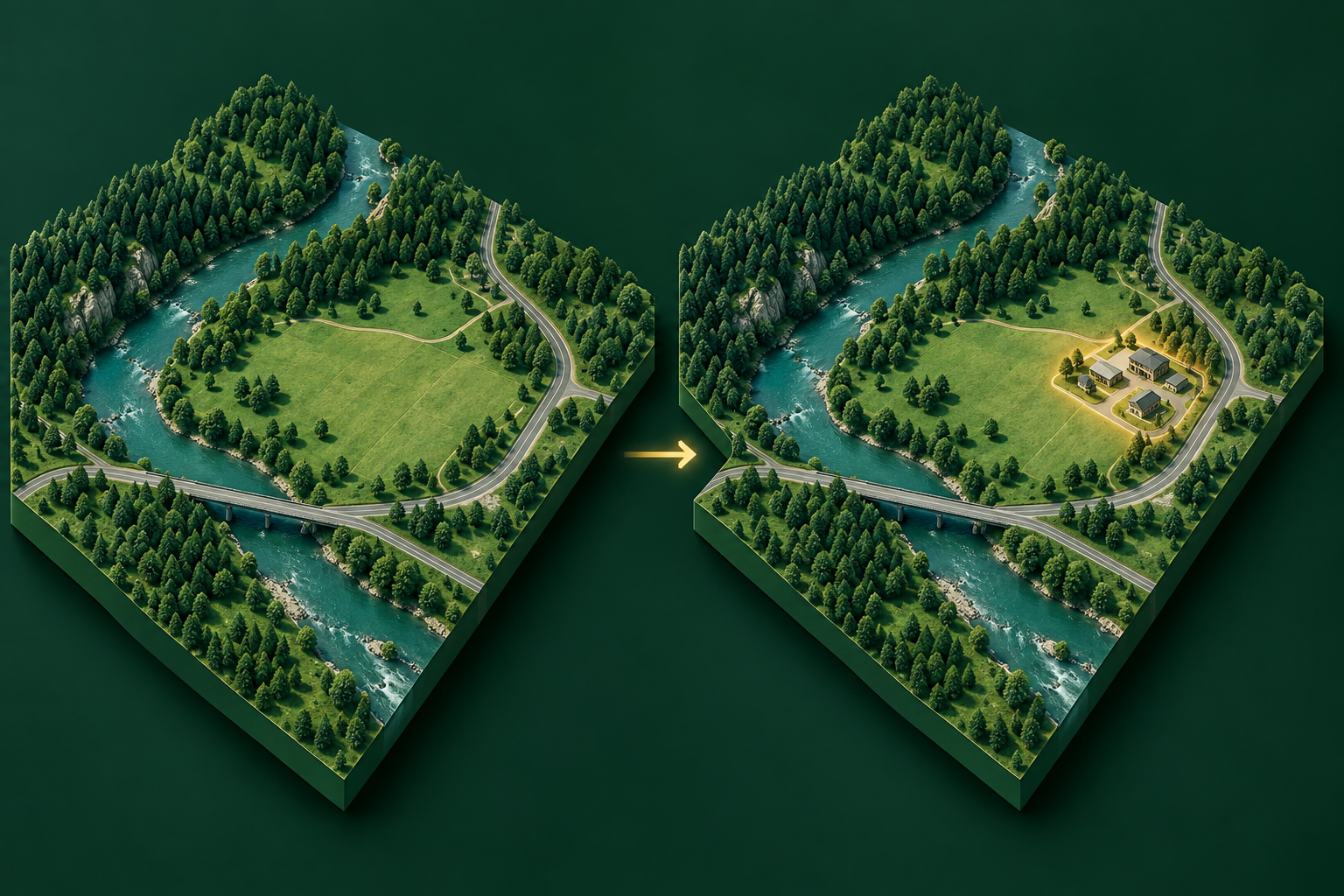
What is change detection?
Change detection asks what changed between observations. It can produce a changed/unchanged mask or class transitions. The images must cover the same aligned area; registration errors can otherwise look like change.
Inputs and outputs
| Input | Output |
|---|---|
| Co-registered images from multiple dates with compatible bands and resolution, plus change labels for supervised training. | A change mask or transition map, sometimes with confidence scores. |
Where it helps in GIS
Monitor construction, clearing or pre-event versus post-event conditions. Define whether seasonal vegetation and temporary water are changes of interest.
Model families and examples
- FC-Siam-conc and FC-Siam-diff: Siamese architectures introduced for paired remote-sensing images.
- DASNet: an attention-based Siamese change-detection approach.
- Post-classification comparison: a transparent baseline comparing two independently classified maps.
These examples explain the task. The sidebar shows only models currently published on GISSchools.
How to start training
Align dates, mask clouds and invalid pixels, and label the chosen types of change. Split by site and date range. Train on paired tiles and inspect unchanged areas for false alarms as well as changed areas for omissions.
How to judge the result
Report precision, recall, F1 and overlap for the changed class. Check sensor, illumination and seasonal differences before interpreting a prediction as a real event.
Learn more
The category image is an illustration, not an evaluated model prediction.
Change detection in 3D surveys
Siamese KPConv: compares two point-cloud epochs for learned 3D change labeling. It belongs to Change Detection because the task is temporal comparison, even though its inputs are 3D.
Align epochs and check common coverage, coordinate units, density and seasonal effects first. Registration errors and missing returns can look like real change. Keep geographically independent evaluation labels. The library entry provides the official implementation and training path; a specific pretrained checkpoint has not been verified.