
Point Cloud Segmentation
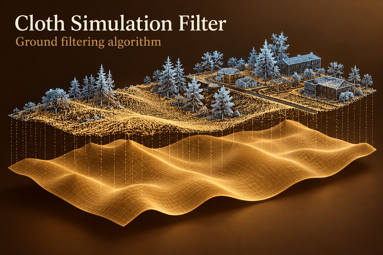
CSF - Ground Filtering Algorithm for LiDAR
Separate candidate ground from elevated LiDAR returns with cloth simulation. A practical non-neural baseline for terrain preparation.
Explore model →Label 3D points in LiDAR and survey clouds to distinguish terrain, buildings, vegetation and other scene classes.

Separate candidate ground from elevated LiDAR returns with cloth simulation. A practical non-neural baseline for terrain preparation.
Explore model →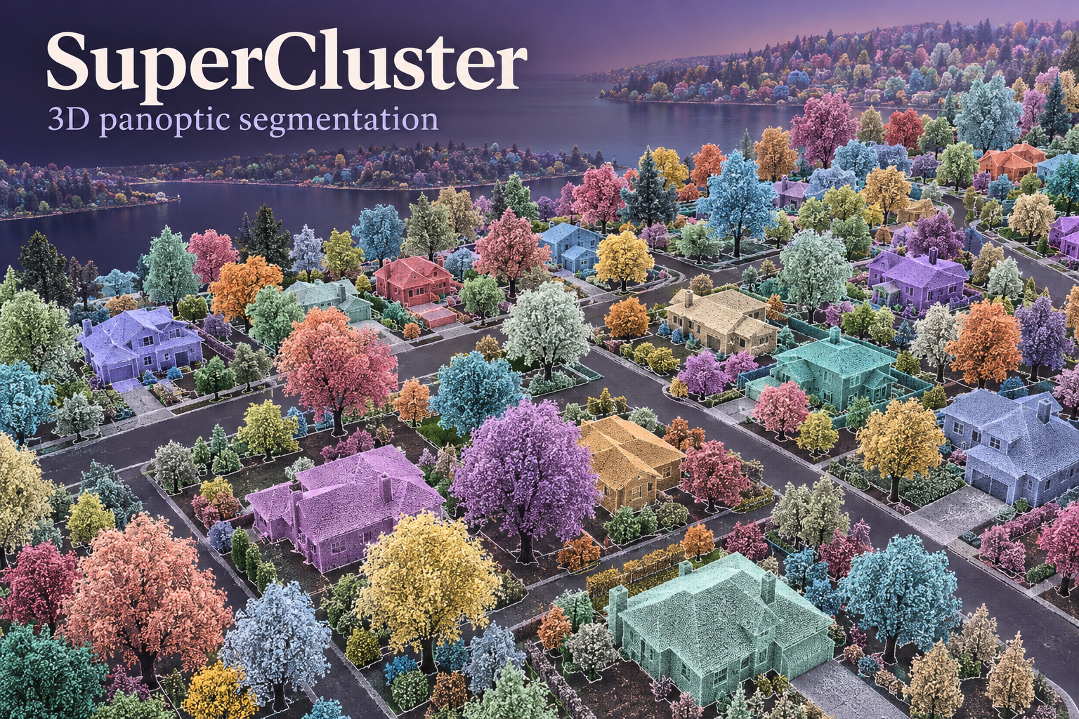
Explore semantic classes and separate object instances in 3D, extending point-wise labels toward individual survey objects.
Explore model →
Learn aerial LiDAR segmentation with the DALES Superpoint Transformer checkpoint, hierarchical point groups and a practical path back to classified survey points.
Explore model →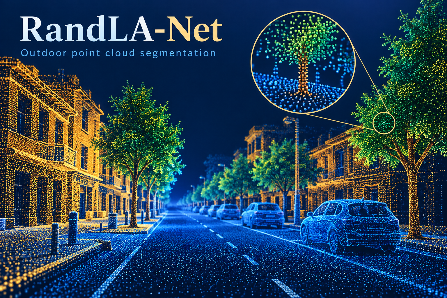
Explore outdoor 3D point labeling with RandLA-Net: terrain, buildings and vegetation, with the Semantic3D workflow and official pretrained-model collection.
Explore model →