

Exact implementation and checkpoint
The official Cloth Simulation Filter implementation for airborne LiDAR ground separation. This is a traditional algorithm, not a trained regression or AI checkpoint.
How it works
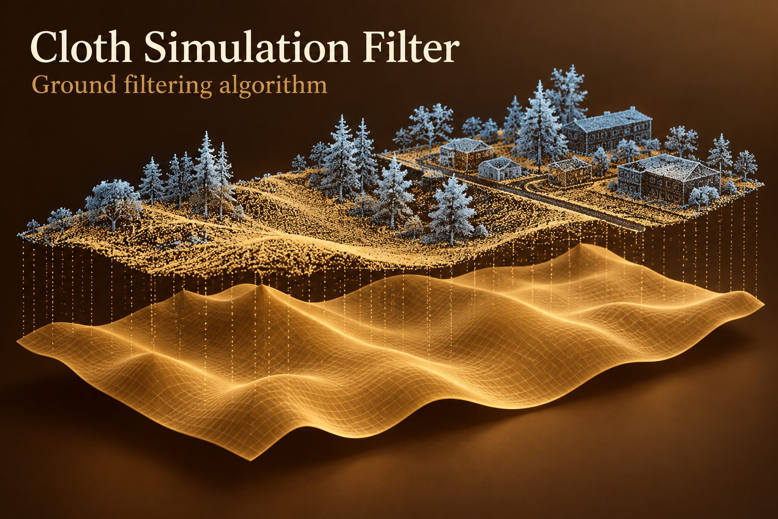
A simulated cloth is fitted against inverted terrain geometry. Point distances and configured parameters separate likely ground from non-ground returns.
Inputs and outputs
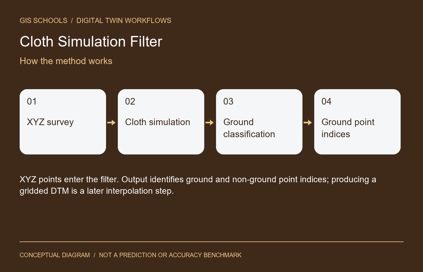
XYZ points enter the filter. Output identifies ground and non-ground point indices; producing a gridded DTM is a later interpolation step.
Training and fine-tuning
No neural training or pretrained weights are needed. Tune cloth resolution, rigidity and classification settings on representative terrain, preserving the chosen settings with the survey.
GIS and digital twin use
Prepare reviewed ground candidates for terrain interpolation. Compare with other filters, preserve CRS and vertical units, and inspect the final surface against survey control.
Validation on your data
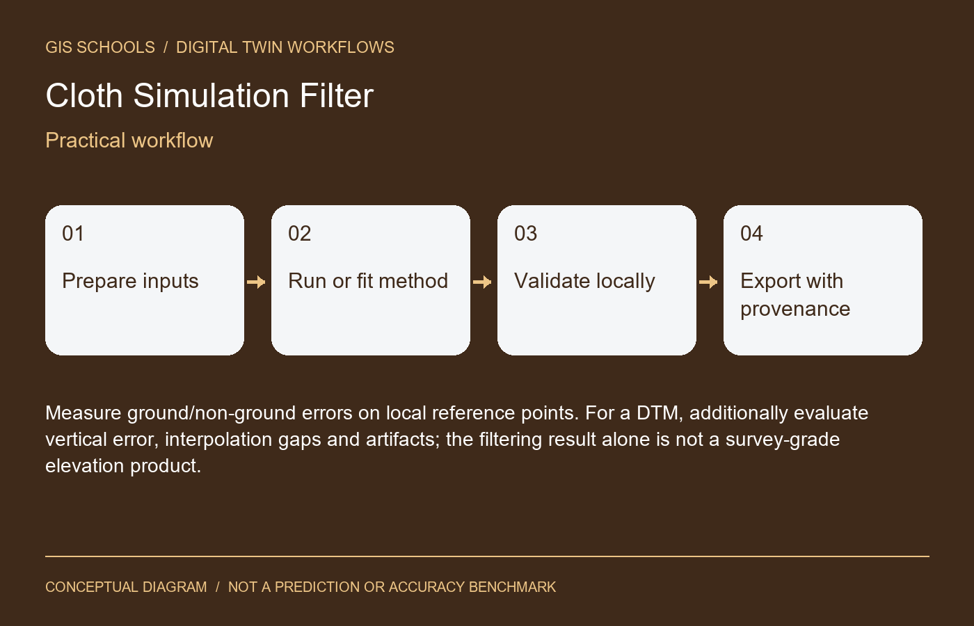
Measure ground/non-ground errors on local reference points. For a DTM, additionally evaluate vertical error, interpolation gaps and artifacts; the filtering result alone is not a survey-grade elevation product.
Limitations
Steep slopes, bridges, dense vegetation and sparse ground returns need careful review. Ground filtering does not recover terrain where the survey has no supporting measurements.
Resources and license
Official source is Apache-2.0. No model weights exist or are required. This reference algorithm is included beside learned point-cloud methods so users can choose an appropriate baseline.
Integration and validation status
This is a workflow component, not an installed iTwin plugin or automatic asset update service. Preserve coordinate reference systems, units, acquisition dates and source provenance for spatial outputs; preserve timestamps and sensor units for time-series outputs. Review results before attaching them to an authoritative asset.
GISSchools has not run training, inference or an accuracy benchmark for this entry. Covers and diagrams are conceptual illustrations. Official resources remain external.
Official references
Examples and images
Downloads and resources
Official source is Apache-2.0. No model weights exist or are required. This reference algorithm is included beside learned point-cloud methods so users can choose an appropriate baseline.
Comments
No comments yet. Start the discussion.
Leave a reply
Your email address will not be published. Required fields are marked.