

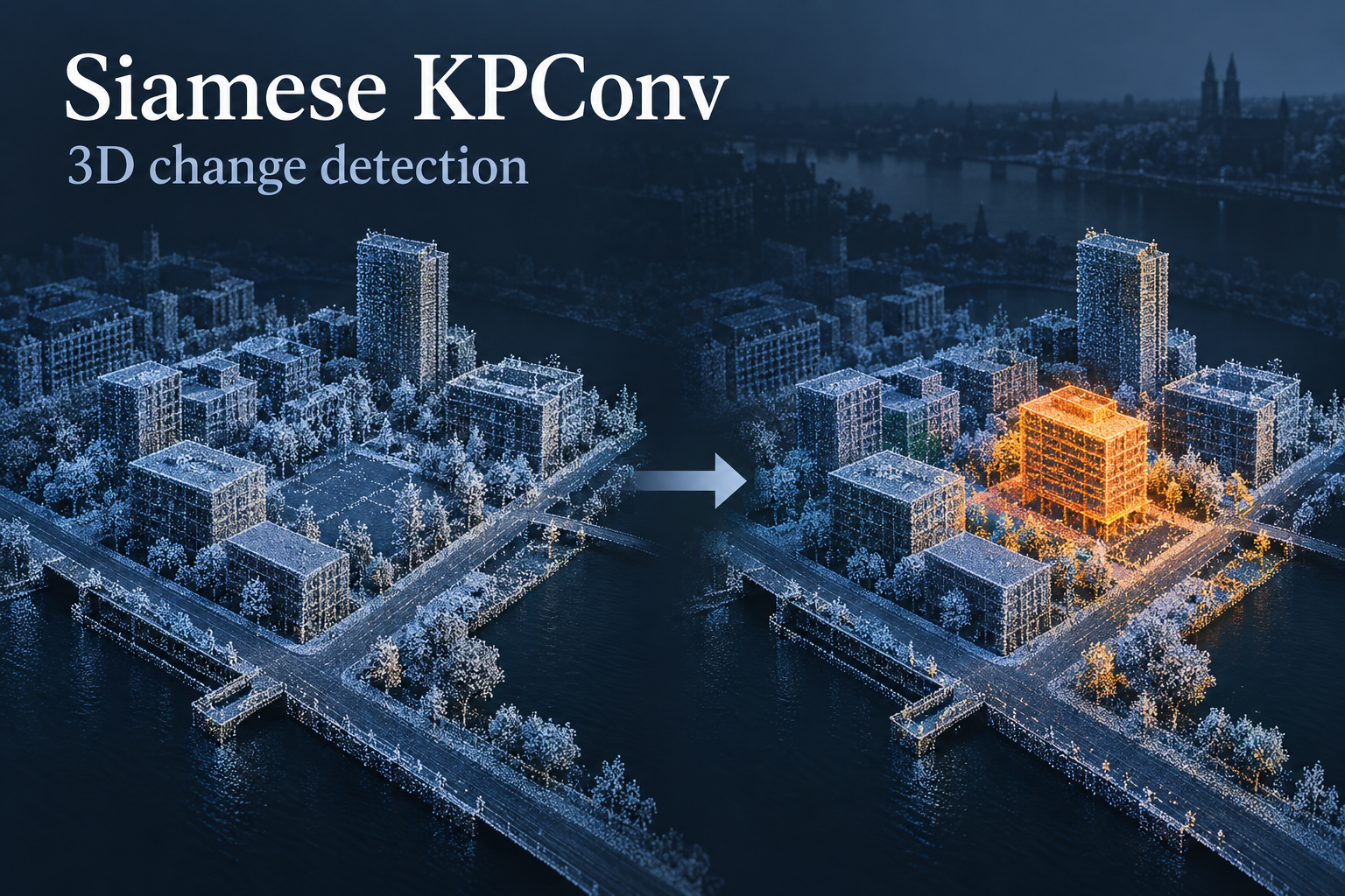
Exact implementation and checkpoint
Official Siamese KPConv change-segmentation implementation. The repository also contains a classification variant; this entry concerns point-level change analysis. A specific downloadable pretrained checkpoint was not verified.
How it works
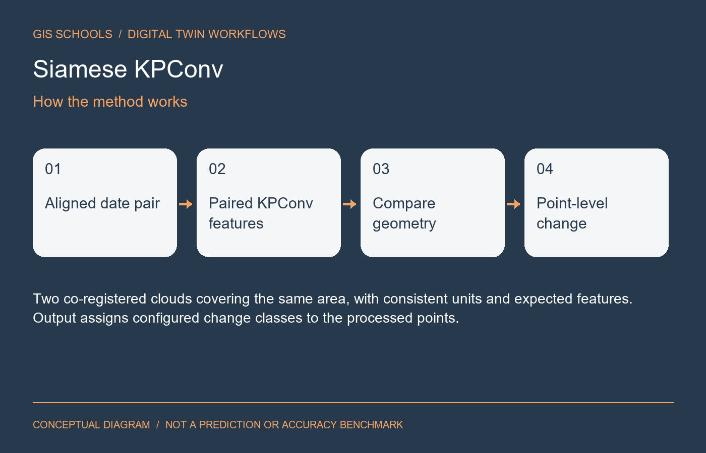
Paired point-cloud branches extract geometric features for comparing two observations. The task configuration defines the change labels learned from annotated pairs.
Inputs and outputs
Two co-registered clouds covering the same area, with consistent units and expected features. Output assigns configured change classes to the processed points.
Training and fine-tuning
Prepare labeled pairs using the repository's change-detection configuration. Its documented entry points include trainSiamKPConv.py and eval_SiamKPConv.py. For custom data, inspect the loader and forward scripts instead of assuming arbitrary LAS files work unchanged.
GIS and digital twin use
A research route for construction monitoring and repeat-survey review. Keep dates, acquisition settings and registration quality alongside each suggested change.
Validation on your data
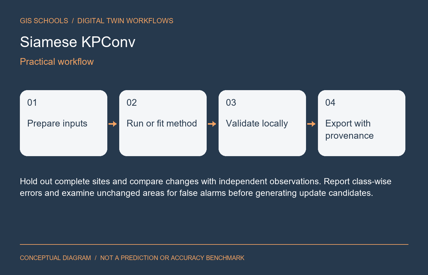
Hold out complete sites and compare changes with independent observations. Report class-wise errors and examine unchanged areas for false alarms before generating update candidates.
Limitations
Registration error, occlusion, seasonality and sampling differences can resemble change. Simulated training data do not establish accuracy on a real repeat survey.
Resources and license
Official source and training instructions are supplied. The repository includes a BSD license; inspect file-specific and dataset terms. No pretrained binary is claimed or hosted; train or obtain a compatible checkpoint before inference.
Integration and validation status
This is a workflow component, not an installed iTwin plugin or automatic asset update service. Preserve coordinate reference systems, units, acquisition dates and source provenance for spatial outputs; preserve timestamps and sensor units for time-series outputs. Review results before attaching them to an authoritative asset.
GISSchools has not run training, inference or an accuracy benchmark for this entry. Covers and diagrams are conceptual illustrations. Official resources remain external.
Official references
Examples and images
Downloads and resources
Official source and training instructions are supplied. The repository includes a BSD license; inspect file-specific and dataset terms. No pretrained binary is claimed or hosted; train or obtain a compatible checkpoint before inference.
Comments
No comments yet. Start the discussion.
Leave a reply
Your email address will not be published. Required fields are marked.