
Exact checkpoint
The original project links this Google Drive checkpoint for checkpoints/BIT_LEVIR/best_ckpt.pt. The evaluation example selects base_transformer_pos_s4_dd8_dedim8. Use the checkpoint-compatible evaluation configuration rather than assuming every training example has the same decoder width.
How it works
The network compresses visual features from two dates into semantic tokens, exchanges temporal context through a Transformer, and returns that context to dense features. A change head distinguishes changed from unchanged pixels.
Typical input and output
Input: two spatially aligned RGB chips of the same place at different dates. The released scripts use img_size 256. Output: a binary change map; it does not by itself explain a change's cause or assign detailed land-use transitions.
Strengths
The task and LEVIR checkpoint are directly relevant to remote-sensing building change. Tokenized temporal context provides a useful baseline beside a multiscale Siamese Transformer.
GIS and remote-sensing use
Align both images to the same grid and compare acquisition conditions before inference. Review candidate change polygons against both dates. Keep the two acquisition dates with the output and avoid interpreting detected change as a legal or causal finding.
Limitations
Misregistration, shadows and seasonal appearance can look like change. A building-change checkpoint is not automatically a vegetation-loss or flood-change model. Training-data geography and imaging conditions constrain transfer.
Training and fine-tuning
Create paired A/B images and binary reference masks with explicit unchanged and changed values. Apply geometric augmentation consistently to both dates and labels. Keep geographic sites out of multiple splits. Fine-tune using labels that match the change definition and measure precision, recall, F1 and IoU for the changed class.
Framework and hardware
Original PyTorch research implementation; its README documents an older Python 3.6 / PyTorch 1.6 environment. Use an isolated compatible environment or validate any modernization. GPU training is expected by the scripts. GISSchools has not run this legacy environment.
Files, license and download
Author-hosted external checkpoint only. The README restricts code to non-commercial research and does not clearly grant unrestricted weight mirroring. The official Drive landing page was reachable; provider download prompts or quotas may still apply.
Before using a result
- Keep imagery rights, acquisition dates and preprocessing with each experiment.
- Separate locations before tiling to avoid train/test leakage.
- Inspect failures and uncertain outputs alongside the original imagery.
- Preserve coordinate transforms and verify units before exporting a GIS layer.
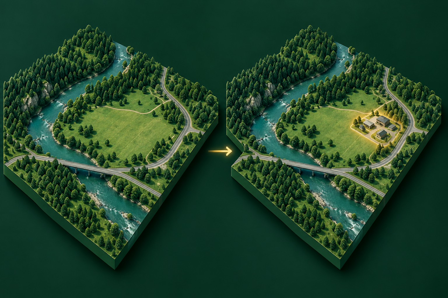
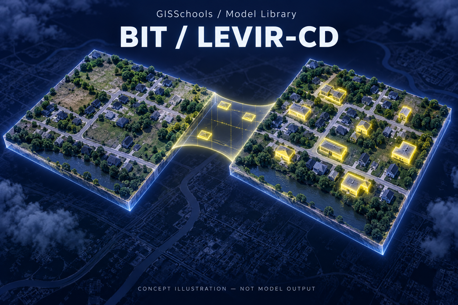
Validation status: Source provenance and website delivery are checked. GISSchools has not run model inference, training or an accuracy benchmark for this record. Feature images and gallery diagrams are explanatory illustrations, not predictions.
Official references
Examples and images


Downloads and resources
Author-hosted external checkpoint only. The README restricts code to non-commercial research and does not clearly grant unrestricted weight mirroring. The official Drive landing page was reachable; provider download prompts or quotas may still apply.
Comments
No comments yet. Start the discussion.
Leave a reply
Your email address will not be published. Required fields are marked.