


Exact implementation and checkpoint
SuperCluster's DALES panoptic experiment in the official Superpoint Transformer repository. The authors link a separate SuperCluster checkpoint collection; this is not the semantic-only SPT checkpoint.
How it works
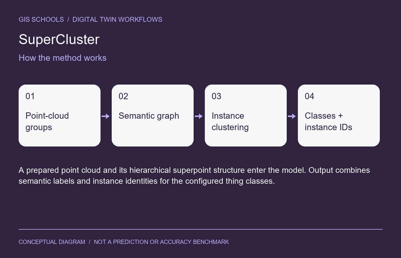
The model predicts information for a graph of superpoints, then graph clustering groups points into instances while retaining semantic information.
Inputs and outputs
A prepared point cloud and its hierarchical superpoint structure enter the model. Output combines semantic labels and instance identities for the configured thing classes.
Training and fine-tuning
Follow the panoptic/dales experiment with class and instance annotations. For custom trees or infrastructure, explicitly define instance rules and thing/stuff classes before preparing training labels.
GIS and digital twin use
Study building or vegetation instance inventories after confirming the checkpoint label definitions. Match reviewed instances to persistent asset records through a separate association step.
Validation on your data
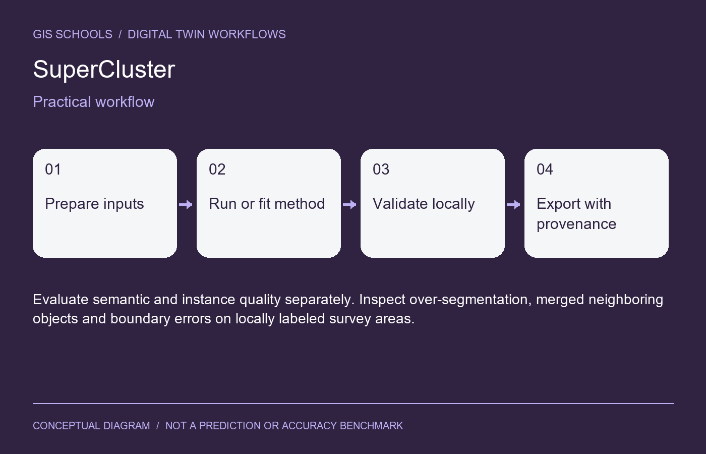
Evaluate semantic and instance quality separately. Inspect over-segmentation, merged neighboring objects and boundary errors on locally labeled survey areas.
Limitations
An instance ID is not a persistent asset identifier across dates. Touching tree crowns and incomplete scans can merge or split objects. Different datasets have different instance conventions.
Resources and license
Code is MIT; checkpoint terms must be checked on the author-linked collection. The collection is linked by the official repository, but its landing page could not be retrieved during this update, so availability and exact artifact bytes were not independently verified. Check the repository migration guidance before loading older weights.
Integration and validation status
This is a workflow component, not an installed iTwin plugin or automatic asset update service. Preserve coordinate reference systems, units, acquisition dates and source provenance for spatial outputs; preserve timestamps and sensor units for time-series outputs. Review results before attaching them to an authoritative asset.
GISSchools has not run training, inference or an accuracy benchmark for this entry. Covers and diagrams are conceptual illustrations. Official resources remain external.
Official references
Examples and images
Downloads and resources
Code is MIT; checkpoint terms must be checked on the author-linked collection. The collection is linked by the official repository, but its landing page could not be retrieved during this update, so availability and exact artifact bytes were not independently verified. Check the repository migration guidance before loading older weights.
Comments
No comments yet. Start the discussion.
Leave a reply
Your email address will not be published. Required fields are marked.