
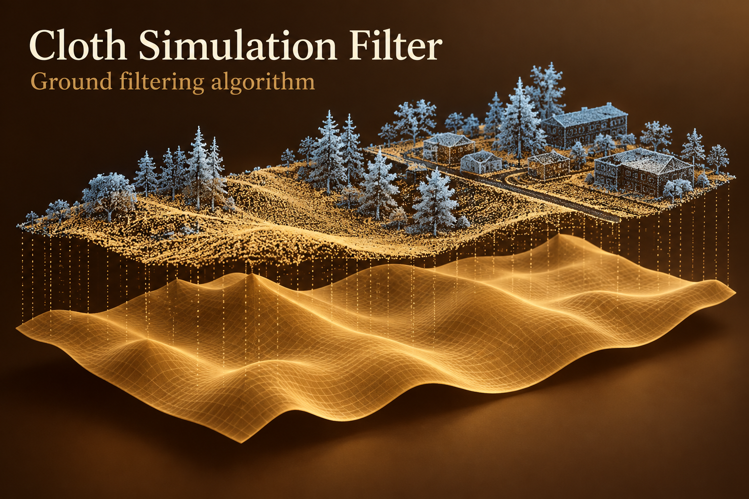
CSF - Ground Filtering Algorithm for LiDAR
Separate candidate ground from elevated LiDAR returns with cloth simulation. A practical non-neural baseline for terrain preparation.
Explore published GISSchools content associated with this exact Tag.
Showing only published content with this exact existing Tag relationship.
Separate candidate ground from elevated LiDAR returns with cloth simulation. A practical non-neural baseline for terrain preparation.
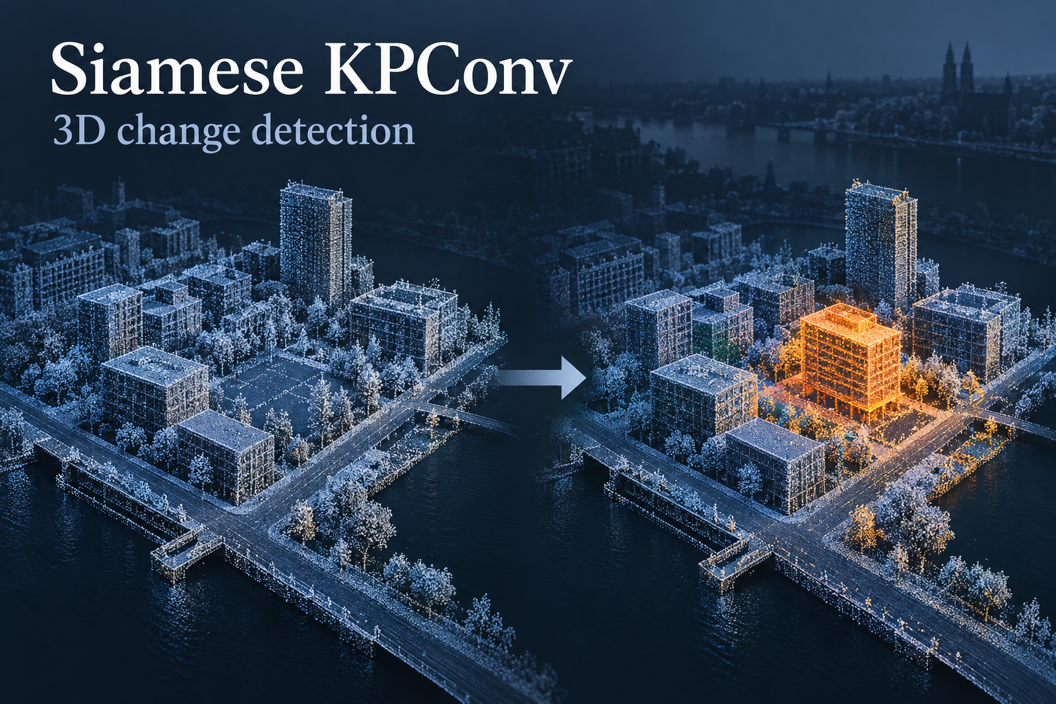
Compare aligned point clouds from two dates to learn spatial change classes, with clear separation between survey differences and real change.
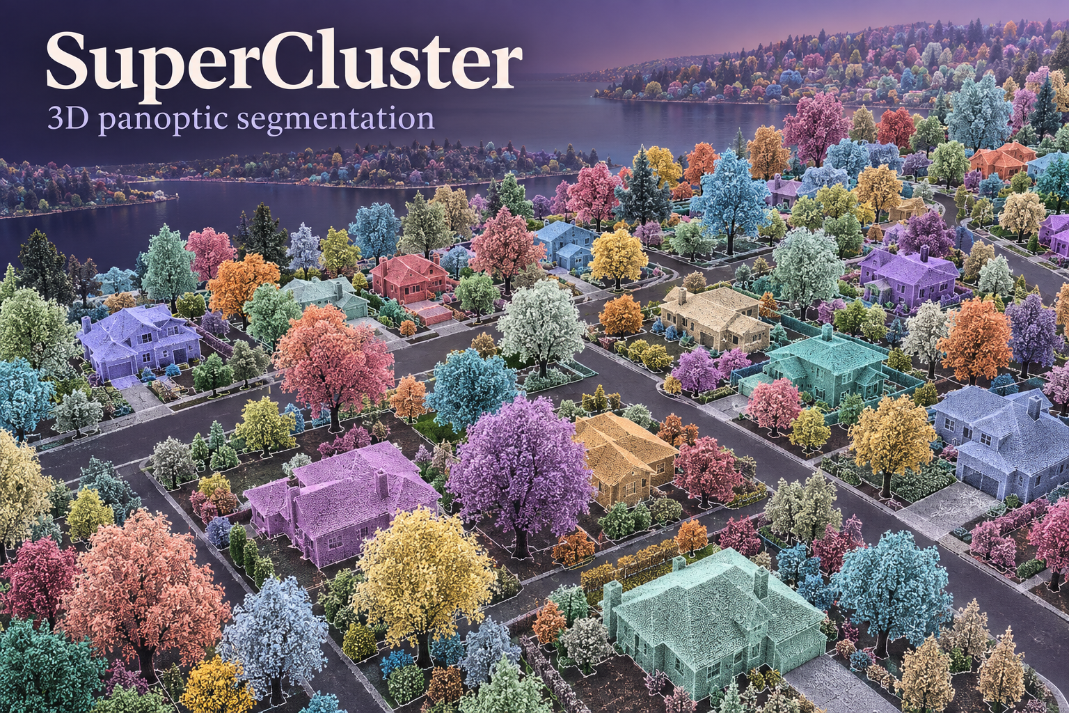
Explore semantic classes and separate object instances in 3D, extending point-wise labels toward individual survey objects.

Forecast sensor histories with uncertainty intervals and optional covariates. Evaluate each deployment against local temporal baselines.

Learn normal visual appearance and flag unusual image regions for review. Build a task-specific memory bank before inspecting new assets.

Explore learned image matching and point-map reconstruction from overlapping photos, with explicit scale, georeferencing and licensing checks.

Align overlapping point clouds with learned geometric correspondences, then review the transformation before updating a shared 3D scene.

Locate road users in LiDAR with oriented 3D boxes. Explore the official OpenPCDet KITTI baseline and the steps needed for a new survey.