


Exact implementation and checkpoint
Official OpenPCDet PointPillar KITTI baseline, with a pretrained download listed in the project's model zoo. KITTI classes are Car, Pedestrian and Cyclist; this is not a pretrained detector for poles or arbitrary infrastructure.
How it works
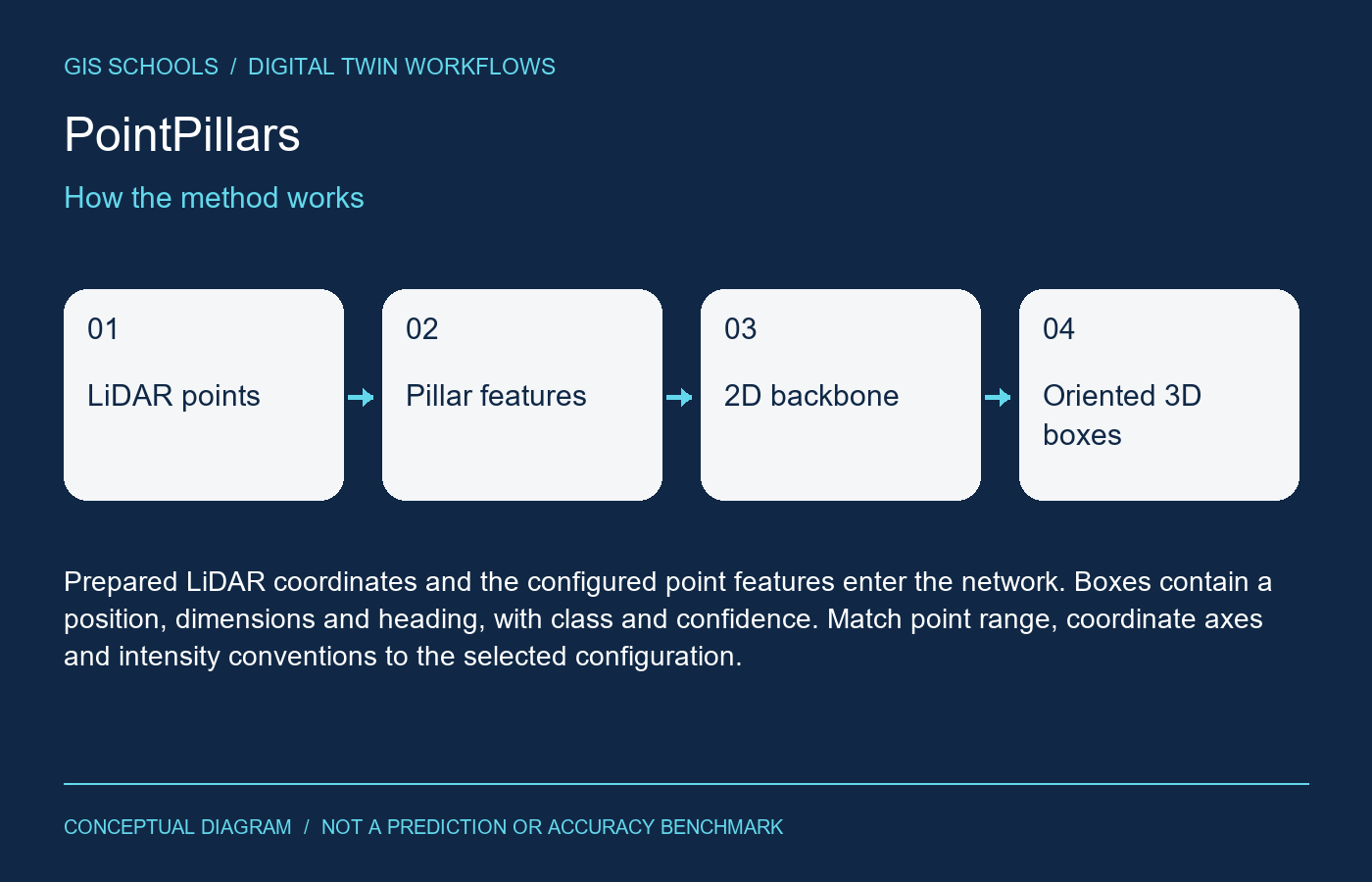
Point features are grouped into vertical pillars and encoded into a bird's-eye feature grid. A convolutional backbone predicts object classes and oriented three-dimensional boxes.
Inputs and outputs
Prepared LiDAR coordinates and the configured point features enter the network. Boxes contain a position, dimensions and heading, with class and confidence. Match point range, coordinate axes and intensity conventions to the selected configuration.
Training and fine-tuning
Follow OpenPCDet's dataset preparation and training instructions with the pointpillar configuration. For another asset type, annotate oriented 3D boxes and change the class configuration before training. Split independent survey routes rather than neighboring frames.
GIS and digital twin use
Useful as a starting point for mobile-mapping asset review. Transform accepted boxes into the project's coordinate frame, attach acquisition time and confidence, and keep a reviewer-approved link to the corresponding asset.
Validation on your data
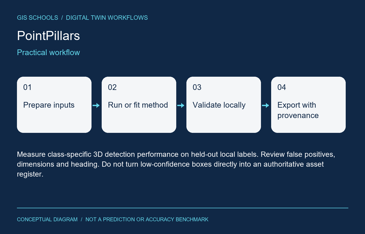
Measure class-specific 3D detection performance on held-out local labels. Review false positives, dimensions and heading. Do not turn low-confidence boxes directly into an authoritative asset register.
Limitations
Sparse distant returns, occlusion and different sensors can degrade results. Road-user weights do not identify buildings or utilities. A bounding box is not an exact mesh or asset identity.
Resources and license
Weights remain at the official model-zoo provider. Code is Apache-2.0; inspect checkpoint and KITTI dataset terms separately. No checkpoint binary was mirrored or executed.
Integration and validation status
This is a workflow component, not an installed iTwin plugin or automatic asset update service. Preserve coordinate reference systems, units, acquisition dates and source provenance for spatial outputs; preserve timestamps and sensor units for time-series outputs. Review results before attaching them to an authoritative asset.
GISSchools has not run training, inference or an accuracy benchmark for this entry. Covers and diagrams are conceptual illustrations. Official resources remain external.
Official references
Examples and images
Downloads and resources
Weights remain at the official model-zoo provider. Code is Apache-2.0; inspect checkpoint and KITTI dataset terms separately. No checkpoint binary was mirrored or executed.
Comments
No comments yet. Start the discussion.
Leave a reply
Your email address will not be published. Required fields are marked.