


Exact implementation and checkpoint
Official amazon/chronos-2 checkpoint. Its provider card identifies a 120-million-parameter forecasting model supporting univariate, multivariate and covariate-informed inputs.
How it works
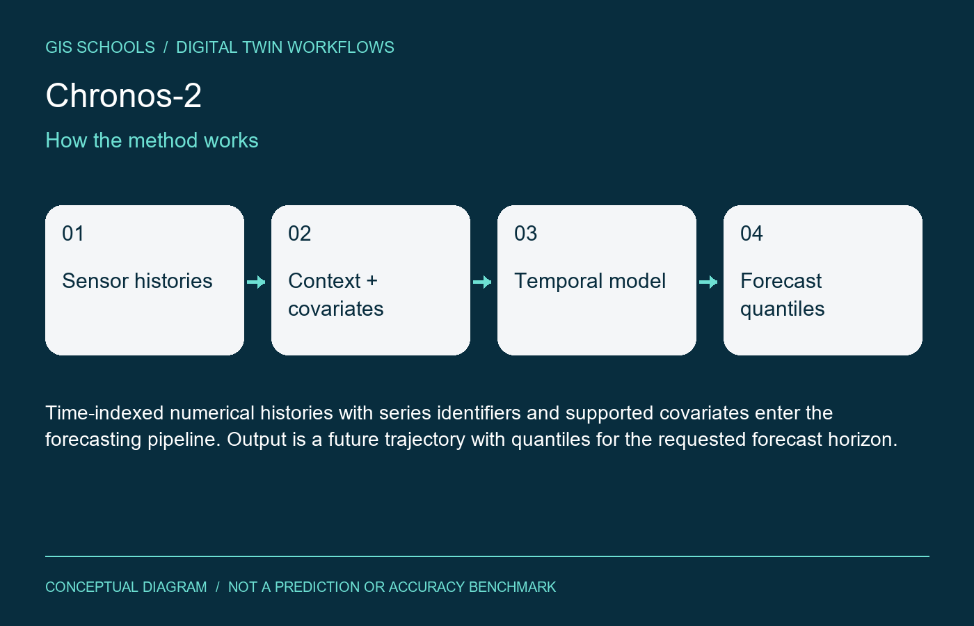
The model encodes historical series and relationships among grouped observations to produce future quantile forecasts.
Inputs and outputs
Time-indexed numerical histories with series identifiers and supported covariates enter the forecasting pipeline. Output is a future trajectory with quantiles for the requested forecast horizon.
Training and fine-tuning
Start with a zero-shot backtest using the documented pipeline. Compare against persistence and seasonal baselines before considering adaptation. Fine-tuning, if needed, should follow the version-matched repository guidance.
GIS and digital twin use
A candidate forecasting component for water-level, energy or environmental sensor dashboards. Link predictions to sensor/asset IDs, timestamps and units; retain forecast issue time separately from observation time.
Validation on your data
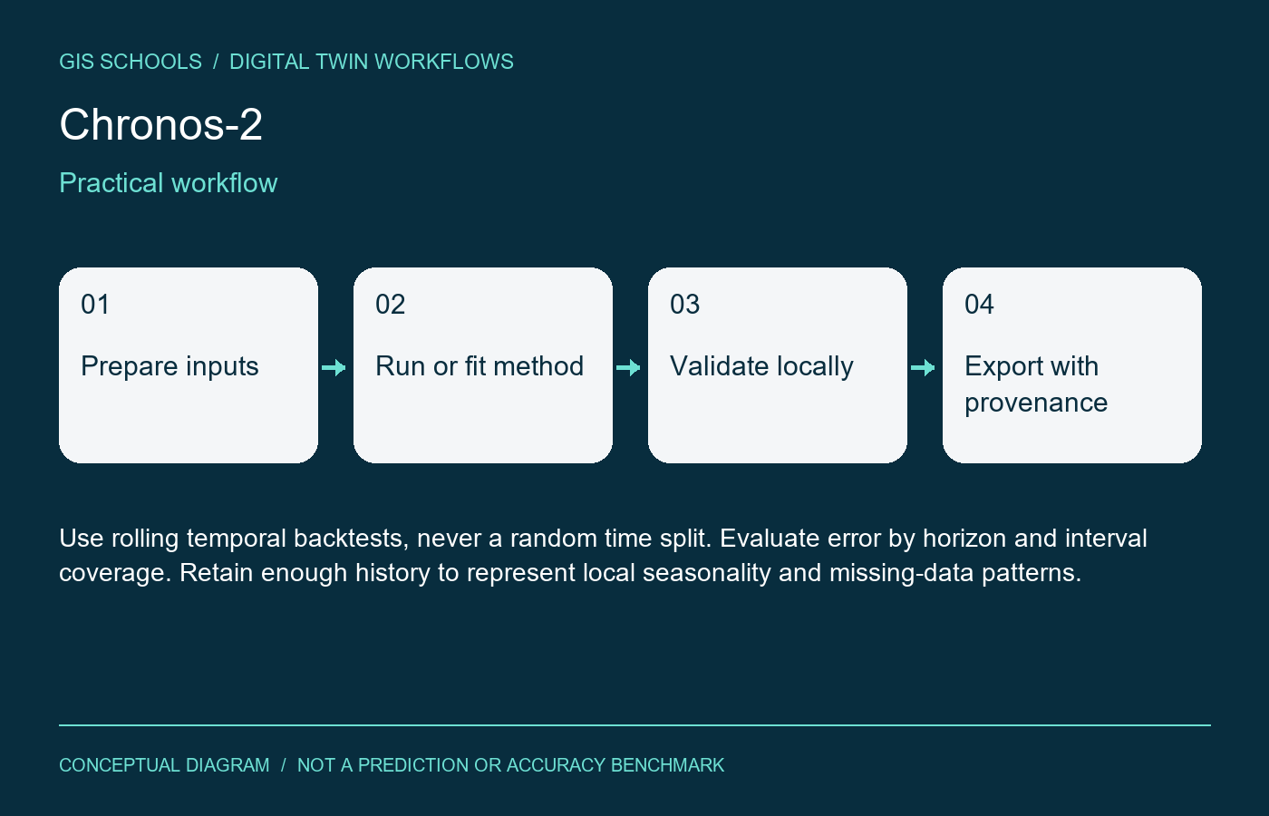
Use rolling temporal backtests, never a random time split. Evaluate error by horizon and interval coverage. Retain enough history to represent local seasonality and missing-data patterns.
Limitations
Forecasts cannot guarantee sudden events or account for information absent from the history. Irregular timestamps, changed units, leakage from future covariates and sensor drift invalidate comparisons.
Resources and license
The official provider card declares Apache-2.0. Download model files from the linked Amazon namespace and keep package/checkpoint revisions together. No cloud account or paid endpoint is needed merely to read these resources.
Integration and validation status
This is a workflow component, not an installed iTwin plugin or automatic asset update service. Preserve coordinate reference systems, units, acquisition dates and source provenance for spatial outputs; preserve timestamps and sensor units for time-series outputs. Review results before attaching them to an authoritative asset.
GISSchools has not run training, inference or an accuracy benchmark for this entry. Covers and diagrams are conceptual illustrations. Official resources remain external.
Official references
Examples and images
Downloads and resources
The official provider card declares Apache-2.0. Download model files from the linked Amazon namespace and keep package/checkpoint revisions together. No cloud account or paid endpoint is needed merely to read these resources.
Comments
No comments yet. Start the discussion.
Leave a reply
Your email address will not be published. Required fields are marked.