
Exact implementation and checkpoint
Selected official model: MASt3R_ViTLarge_BaseDecoder_512_catmlpdpt_metric. This page follows MASt3R and its matching/global-alignment workflow, not an interchangeable DUNE variant.
How it works
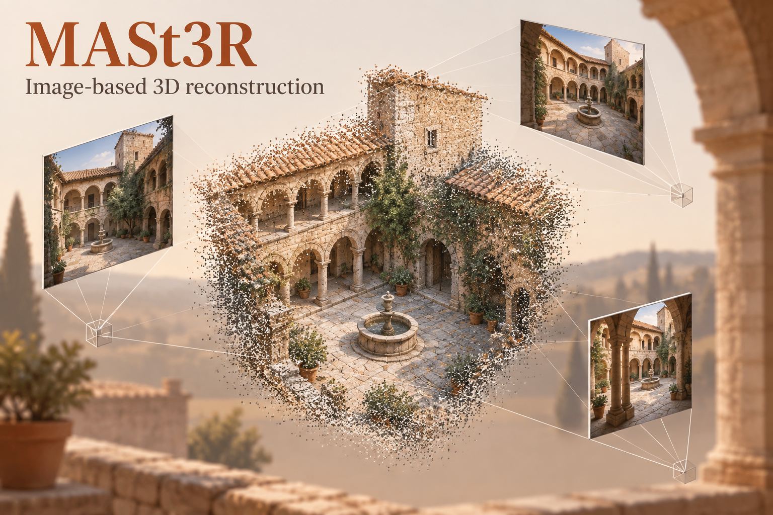
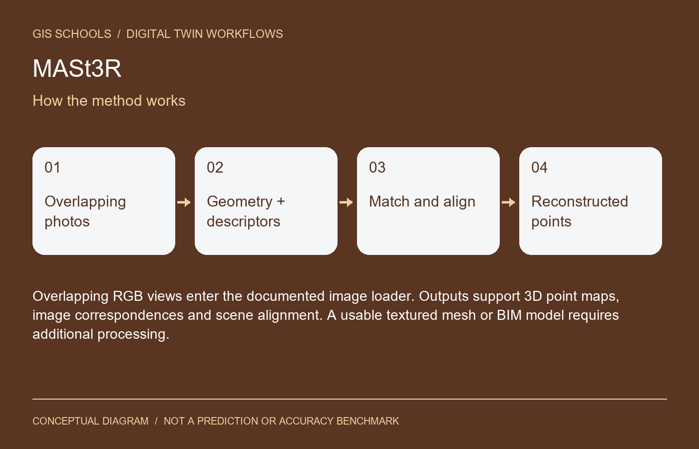
The network predicts geometry and descriptors from image pairs. Matches and global alignment connect observations into a reconstructed scene.
Inputs and outputs
Overlapping RGB views enter the documented image loader. Outputs support 3D point maps, image correspondences and scene alignment. A usable textured mesh or BIM model requires additional processing.
Training and fine-tuning
Follow the repository training documentation using datasets for which you have rights. Preserve the image-processing settings and checkpoint configuration. Begin by checking a small multi-view scene against independent measurements.
GIS and digital twin use
A research starting point for visual documentation and reconstruction experiments around infrastructure. Establish scale and georeferencing, inspect missing geometry and then prepare an appropriate reality-data format.
Validation on your data
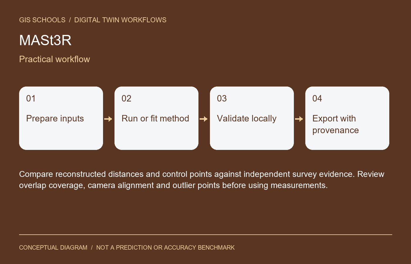
Compare reconstructed distances and control points against independent survey evidence. Review overlap coverage, camera alignment and outlier points before using measurements.
Limitations
Textureless, reflective and changing surfaces can fail. A metric checkpoint name is not proof of survey accuracy or an absolute CRS. Large scenes require careful image pairing and compute planning.
Resources and license
The official code is non-commercial CC BY-NC-SA 4.0. Checkpoint use also depends on training-dataset conditions, including restrictive notices identified by the authors. Official links are provided without accepting terms or redistributing binaries.
Integration and validation status
This is a workflow component, not an installed iTwin plugin or automatic asset update service. Preserve coordinate reference systems, units, acquisition dates and source provenance for spatial outputs; preserve timestamps and sensor units for time-series outputs. Review results before attaching them to an authoritative asset.
GISSchools has not run training, inference or an accuracy benchmark for this entry. Covers and diagrams are conceptual illustrations. Official resources remain external.
Official references
Examples and images
Downloads and resources
The official code is non-commercial CC BY-NC-SA 4.0. Checkpoint use also depends on training-dataset conditions, including restrictive notices identified by the authors. Official links are provided without accepting terms or redistributing binaries.
Comments
No comments yet. Start the discussion.
Leave a reply
Your email address will not be published. Required fields are marked.