
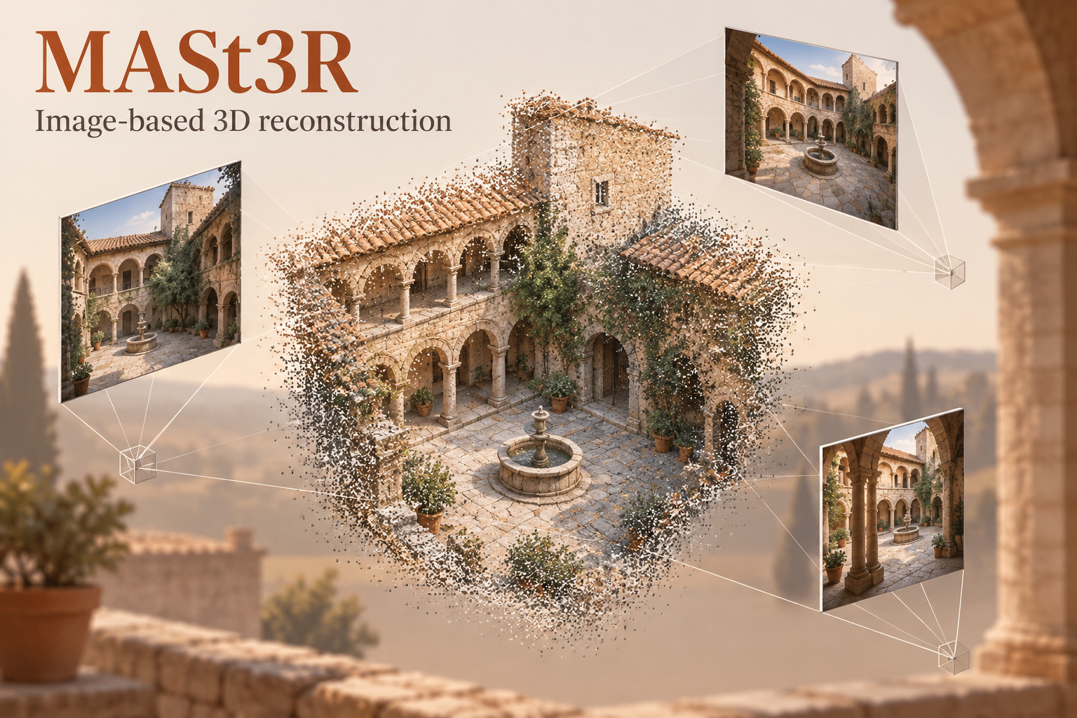
What is 3d reconstruction?
Reconstruction produces geometry and camera relationships for inspection and visualization. A reconstructed scene does not automatically have a surveyed scale, geographic coordinates or BIM semantics.
Approaches and starting model
Image matching, structure from motion and multi-view reconstruction are related approaches. MASt3R supplies learned matching and point-map information within an image reconstruction workflow.
Inputs and outputs
Overlapping RGB views enter the documented image loader. Outputs support 3D point maps, image correspondences and scene alignment. A usable textured mesh or BIM model requires additional processing.
Where it helps in GIS and digital twins
A research starting point for visual documentation and reconstruction experiments around infrastructure. Establish scale and georeferencing, inspect missing geometry and then prepare an appropriate reality-data format.
How to start
Follow the repository training documentation using datasets for which you have rights. Preserve the image-processing settings and checkpoint configuration. Begin by checking a small multi-view scene against independent measurements.
How to evaluate results
Compare reconstructed distances and control points against independent survey evidence. Review overlap coverage, camera alignment and outlier points before using measurements.
Limitations
Textureless, reflective and changing surfaces can fail. A metric checkpoint name is not proof of survey accuracy or an absolute CRS. Large scenes require careful image pairing and compute planning.
Official starting-model documentation
The category artwork illustrates its starting model; it is not an evaluated prediction.