
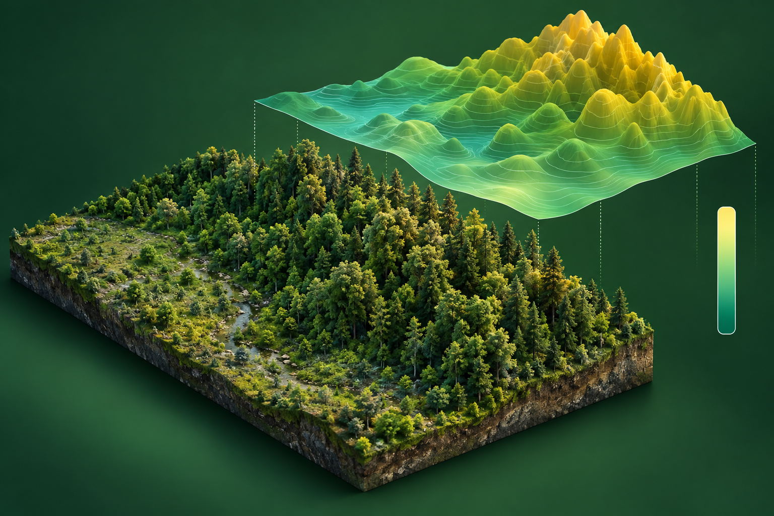
What is regression?
Regression predicts a number rather than a class. The result can be a value per sample or parcel, or a continuous raster. Target units and the reference measurement method must be defined clearly.
Inputs and outputs
| Input | Output |
|---|---|
| Image bands, derived features or spatial covariates paired with reliable numerical measurements. | Numerical estimates in stated units, ideally with a valid range and uncertainty assessment. |
Where it helps in GIS
Estimate canopy height or another measured environmental variable using imagery and reference observations. Model predictions remain estimates rather than replacement field measurements.
Model families and examples
- Random Forest regression: a flexible baseline for feature tables.
- Gradient-boosted trees: another tabular approach.
- Geospatial encoder with a regression head: supports numerical prediction when trained for the target; Prithvi has been adapted for canopy-height estimation.
These examples explain the task. The sidebar shows only models currently published on GISSchools.
How to start training
Check reference units, dates and spatial support. Separate training and test sites, establish a baseline, and fit preprocessing using training data. Inspect residuals across the target range and validate on locations outside the training neighbourhood.
How to judge the result
Report MAE and RMSE in target units, alongside bias and regional errors. Models may extrapolate poorly beyond the training range. Document where representative observations support predictions.
Learn more
The category image is an illustration, not an evaluated model prediction.