
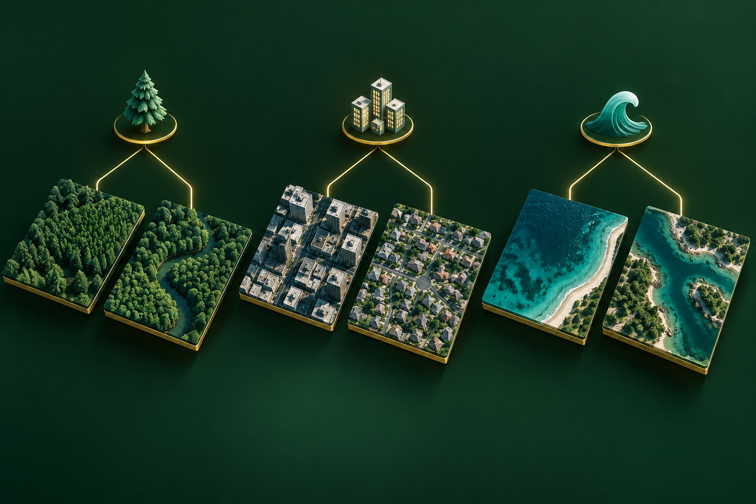
What is classification?
Classification chooses a category from a defined set. An image classifier can label an entire tile; a tabular classifier can label a spectral sample or mapped object. For a dense pixel map with spatial boundaries, also explore Semantic Segmentation.
Inputs and outputs
| Input | Output |
|---|---|
| Image patches or numerical feature rows paired with reference class labels. | A class per input, sometimes accompanied by class scores or probabilities. |
Where it helps in GIS
Organise aerial scenes, classify spectral samples or distinguish crops using prepared features. Define the meaning of each class before annotation.
Model families and examples
- ResNet and EfficientNet: convolutional image-classification architectures.
- Vision Transformer: an attention-based image architecture.
- Random Forest: useful for structured feature tables.
- Nearest centroid: the simple baseline used by our synthetic learning demo.
These examples explain the task. The sidebar shows only models currently published on GISSchools.
How to start training
Collect representative labels across regions and seasons. Split by location and fit preprocessing only on training data. Start with a simple baseline, train or fine-tune, and inspect a confusion matrix before selecting a model.
How to judge the result
Overall accuracy can hide poor performance on rare classes. Check per-class precision, recall and F1, and inspect mistakes. Save class definitions, sensor information and preprocessing with the model.
Learn more
The category image is an illustration, not an evaluated model prediction.