
What this model does
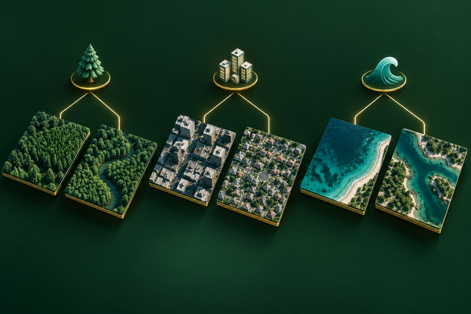
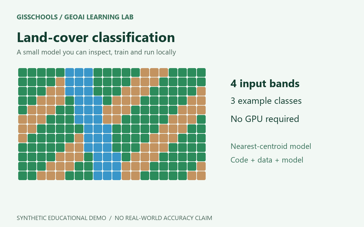
This original educational demo classifies four synthetic reflectance values as Water, Vegetation or Bare soil. It is a small statistical nearest-centroid model, not a pretrained satellite foundation model.
Inputs and outputs
Provide blue, green, red and near-infrared values between 0 and 1 in CSV columns named blue, green, red and nir. The output is a predicted class for each sample.
Requirements
Python 3.9 or later. Standard library only: no GPU, account or paid service is required.
How to train
Download and extract the resource ZIP. Open a terminal in that folder and run:
python train.py --data training.csv --output model.json
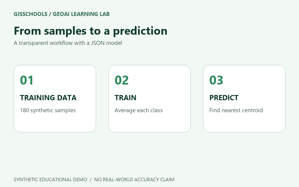
The supplied training.csv contains 180 synthetic labelled samples. Training calculates the average band values for each class and saves a readable JSON model.
How to run a prediction
python predict.py --model model.json --data samples.csv --output predictions.csv
The included three samples provide a basic smoke test. They are not an independent accuracy evaluation.
Use your own data
Prepare labelled CSV samples with the same band order and reflectance scaling, then retrain. Use independent spatial training, validation and test regions. Satellite imagery also needs cloud masking, no-data handling and sensor-specific preparation. These scripts do not read GeoTIFFs or preserve a coordinate reference system.
Limitations
All training data and illustrations are synthetic. This model has not been validated on real satellite imagery. It always selects one of the three classes and provides no calibrated confidence or unknown class. Do not use its synthetic centroids for operational mapping.
Included files
- model.json - trained synthetic demo model
- train.py and predict.py - runnable Python scripts
- training.csv and samples.csv - synthetic data
- README.md and predictions.csv - instructions and example output
Examples and images

Comments
No comments yet. Start the discussion.
Leave a reply
Your email address will not be published. Required fields are marked.