GIS-Schools GIS-Schools
GISSchools Course

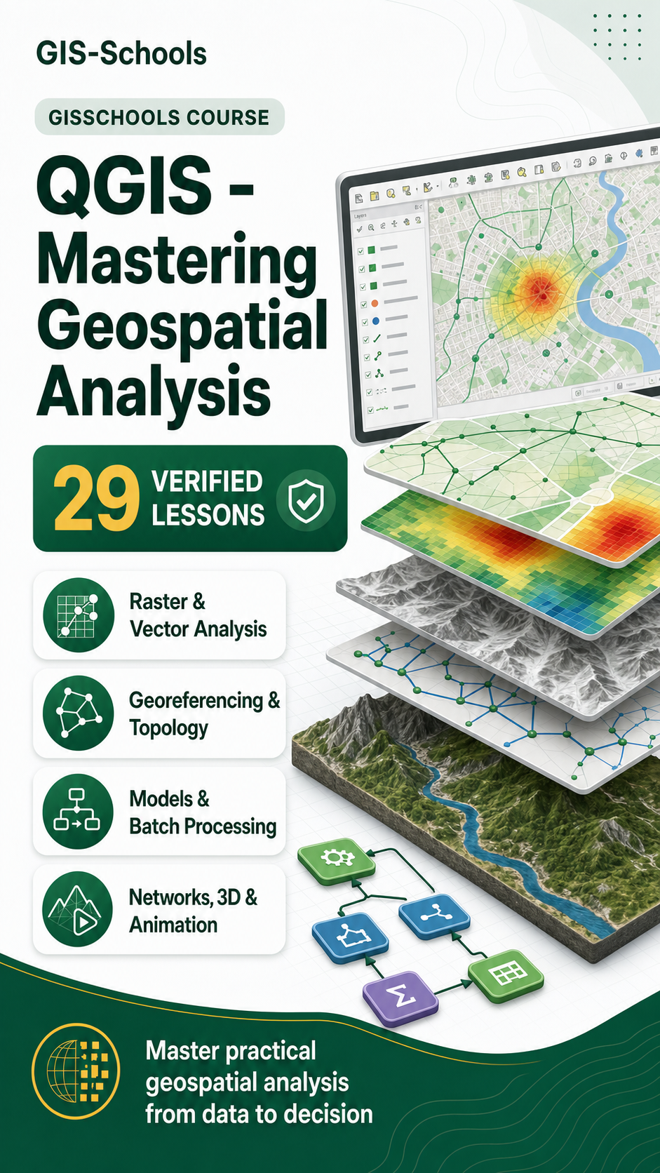
QGIS - Mastering Geospatial Analysis

Develop advanced QGIS skills across raster and vector analysis, topology, georeferencing, models, networks, 3D maps and automation.

29 verified lessons
QGIS - Mastering Geospatial Analysis
Course overview

What you will learn

Master practical geospatial analysis in QGIS through a comprehensive 29-lesson sequence. The Course combines the analytical, cartographic and data-management techniques required for confident project work.

You will style and process raster data, manage projections, correct topology, perform joins and spatial queries, create heatmaps and animations, automate work with batch processing and models, and solve network and service-area problems.

  • Analyze raster and vector datasets accurately.
  • Automate repeatable QGIS workflows.
  • Create advanced network, 3D and animated outputs.
Course/Video Tutorial Part 8

Add Basemap in QGIS

Learn Add Basemap in QGIS using QGIS for professional geospatial analysis and mapping.

  • Muhammad Sohail
  • 2 min read
View resource