A Web App using GeoServer Services with Input Filters and Legend
Build a web application using GeoServer services with input filters, interactive map, and dynamic legends.
View resourceMaster GeoServer installation, layers, styles, PostGIS publishing, WMS/WFS services, SQL views, legends, deployment and raster caching.
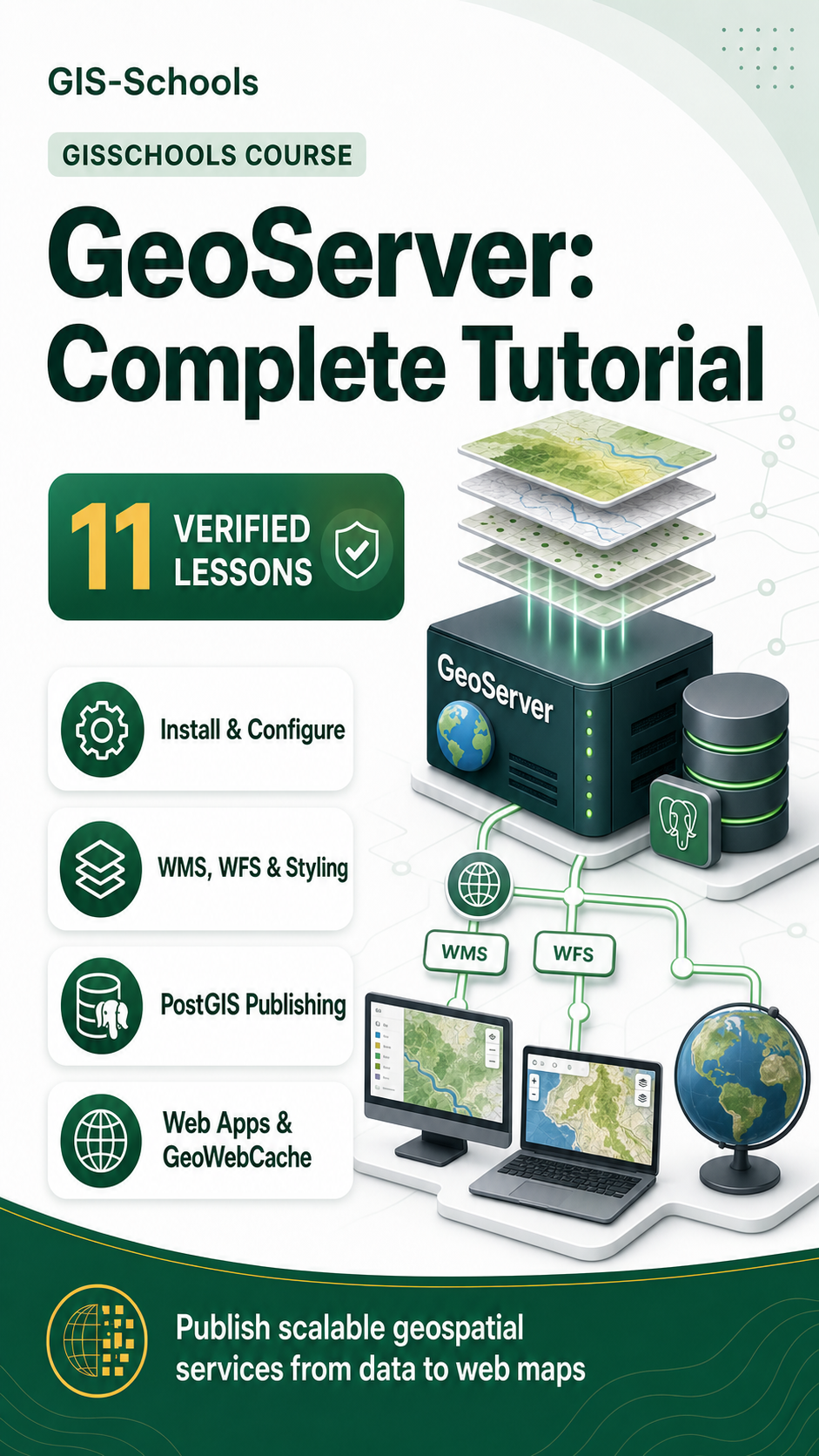
Learn how to publish and operate geospatial web services with GeoServer. Across eleven lessons, this Course moves from installation and interface fundamentals to production-focused vector and raster delivery.
You will configure layers, connect PostGIS, style data, work with WMS and WFS requests, create parameterized SQL views, add legends, deploy on Apache Tomcat and handle large raster collections with ImageMosaic and GeoWebCache.
Build a web application using GeoServer services with input filters, interactive map, and dynamic legends.
View resourceDeploy GeoServer on Apache Tomcat with a full production setup. Secure, optimize, and configure your GIS server.
View resourceLearn how to publish large raster and satellite imagery in GeoServer using ImageMosaic, GeoWebCache, and WMTS for fast, scalable web GIS performance.
View resource