

GeoTransformer - KITTI Point Cloud Registration
Align overlapping point clouds with learned geometric correspondences, then review the transformation before updating a shared 3D scene.
Explore published GISSchools content associated with this exact Tag.
Showing only published content with this exact existing Tag relationship.
Align overlapping point clouds with learned geometric correspondences, then review the transformation before updating a shared 3D scene.

Locate road users in LiDAR with oriented 3D boxes. Explore the official OpenPCDet KITTI baseline and the steps needed for a new survey.

Learn aerial LiDAR segmentation with the DALES Superpoint Transformer checkpoint, hierarchical point groups and a practical path back to classified survey points.

Explore outdoor 3D point labeling with RandLA-Net: terrain, buildings and vegetation, with the Semantic3D workflow and official pretrained-model collection.

A real geospatial canopy-height model trained with aerial LiDAR supervision. Explore continuous height prediction from RGB imagery, with explicit sensor and normalization caveats.

Predict relative scene depth from one image using the genuine V2 Small checkpoint. Learn why a depth-looking surface is not automatically a metric elevation model.

Compare two dates through a multiscale Siamese Transformer. This page selects the original LEVIR-trained V6 checkpoint and explains its binary building-change output.
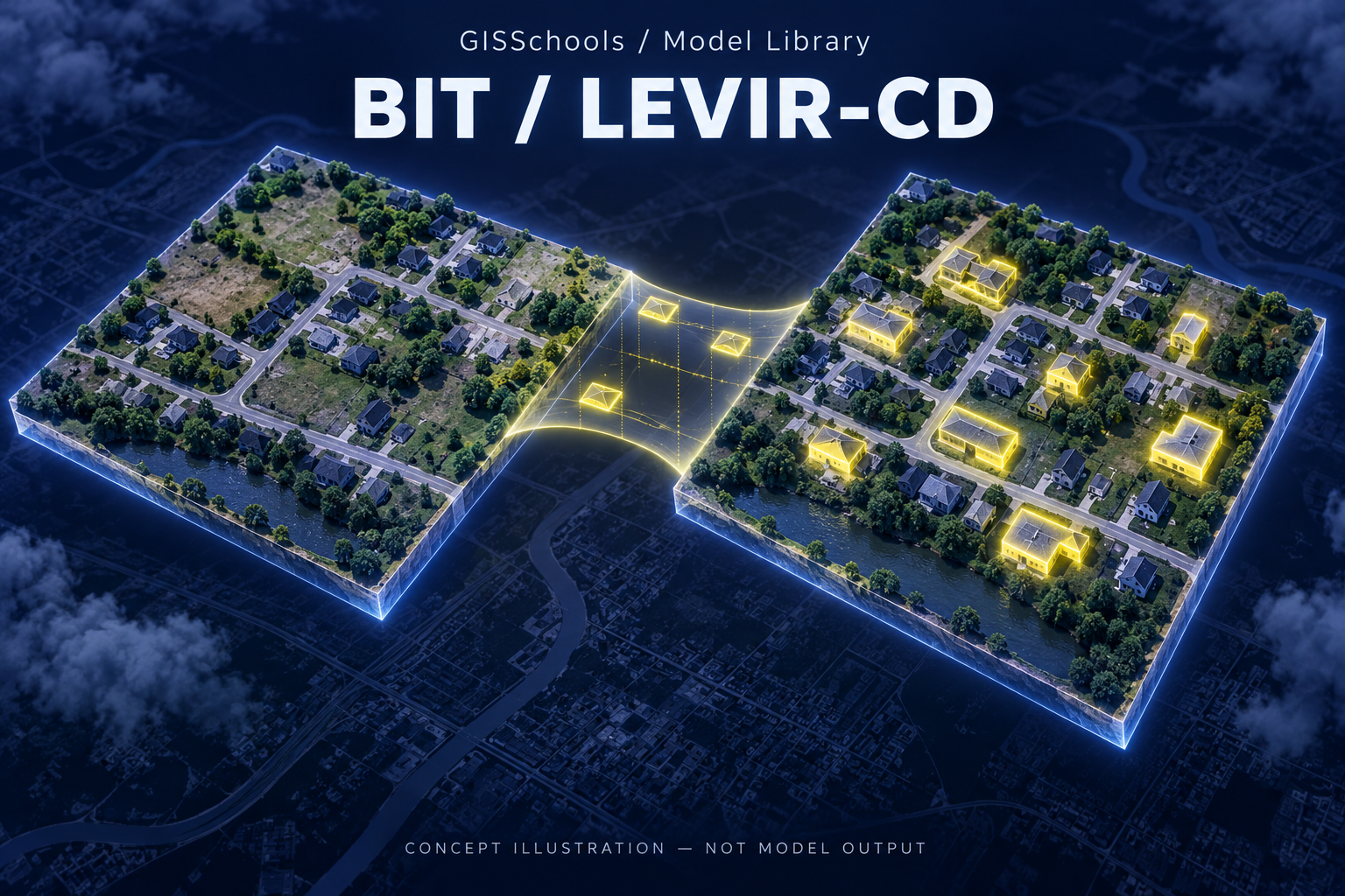
A real bitemporal remote-sensing model for comparing co-registered image pairs. The author-provided LEVIR checkpoint focuses on building change.