

Exact checkpoint
Selected checkpoint: forests/v1/models/saved_checkpoints/compressed_SSLhuge.pth from the project's official public S3 bucket. It is the quantized satellite-trained SSLhuge model, not compressed_SSLhuge_aerial.pth. The source object is 784,469,429 bytes.
How it works
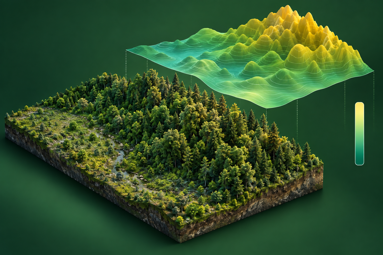
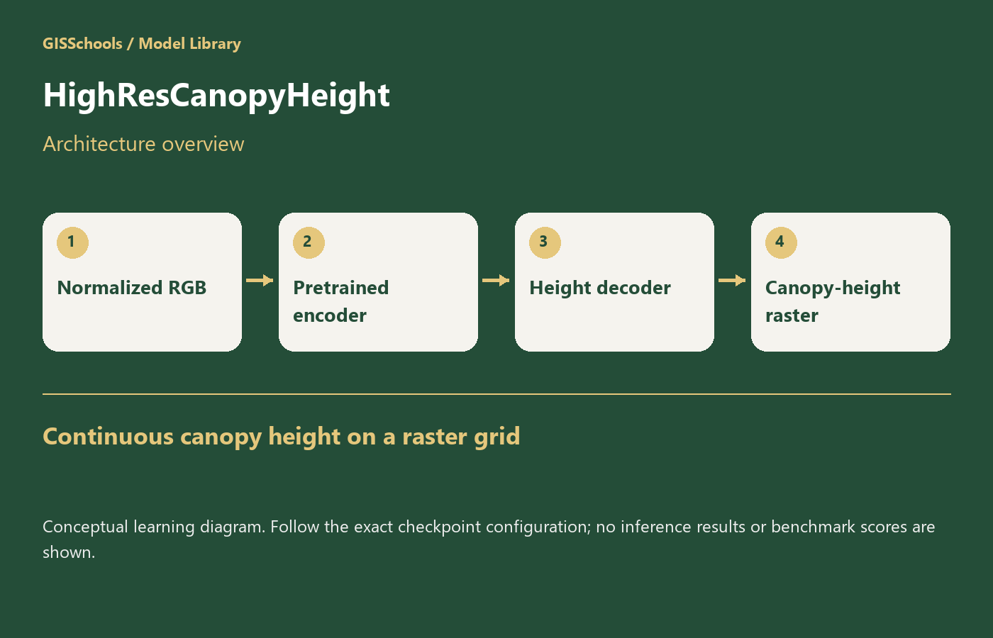
Self-supervised image pretraining produces a vegetation-sensitive representation. A dense regression decoder learns to associate image features with canopy-height targets derived from aerial LiDAR. The compressed model is an inference-oriented quantized representation.
Typical input and output
Input is RGB imagery prepared using the repository's normalization and dataset pipeline. Output is a continuous canopy-height prediction associated with the image grid. Retain the original height-target units and preprocessing; verify any export against the implementation before naming raster units.
Strengths
Unlike a generic scene-depth model, this project is built for canopy-height mapping. It supplies original checkpoints and evaluation code that distinguish satellite and aerial model variants.
GIS and remote-sensing use
Use for research into forest structure and height mapping, with local LiDAR or field data for validation. Preserve CRS, ground sampling distance and no-data masks. Treat canopy height above ground separately from terrain elevation or camera-relative depth.
Limitations
The release does not include its GEDI correction step. The authors report compressed-model inference testing on CPU only. New sensors, image radiometry, forest structures and geographic regions may shift errors; a published map is not proof of local measurement accuracy.
Training and fine-tuning
Adapting a height model requires temporally and spatially aligned RGB imagery and trustworthy canopy-height reference rasters. Mask invalid targets, inspect radiometric normalization and split by forest/site. Report MAE, RMSE and bias by height range and land-cover condition. The released inference package does not by itself constitute a complete retraining pipeline.
Framework and hardware
PyTorch with the project's documented PyTorch Lightning environment. Follow compressed-checkpoint CPU loading for the selected file. The much larger uncompressed SSLhuge_satellite.pth is the authors' GPU inference option; these files are not interchangeable device recipes.
Files, license and download
Official external source: Apache-2.0 explicitly covers code and model weights, but the 784,469,429-byte compressed model exceeds the existing 100 MiB resource ceiling. The repository and direct S3 file remain the canonical download path.
Before using a result
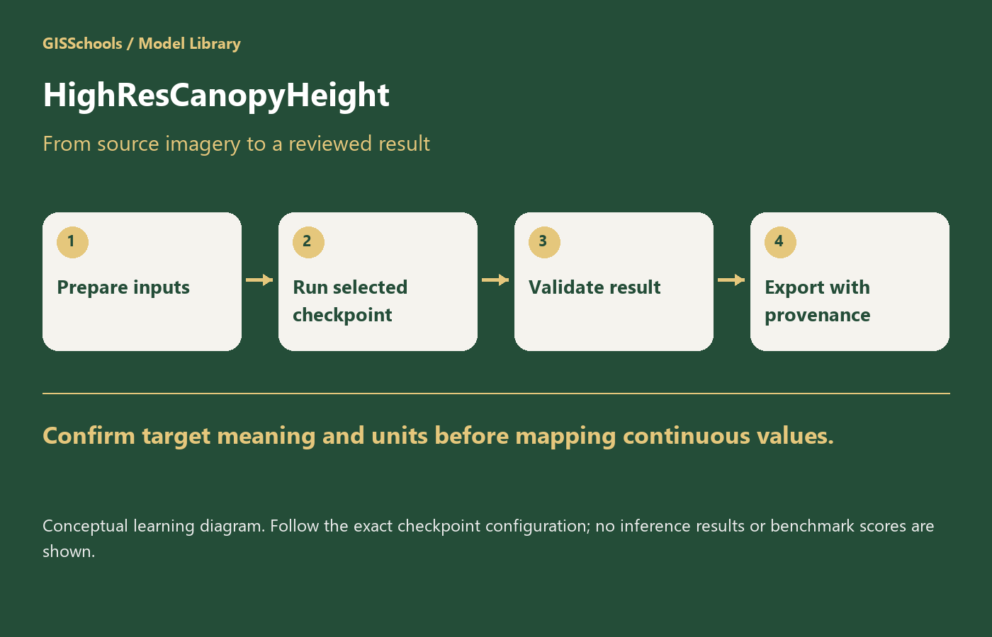
- Keep imagery rights, acquisition dates and preprocessing with each experiment.
- Separate locations before tiling to avoid train/test leakage.
- Inspect failures and uncertain outputs alongside the original imagery.
- Preserve coordinate transforms and verify units before exporting a GIS layer.
Validation status: Source provenance and website delivery are checked. GISSchools has not run model inference, training or an accuracy benchmark for this record. Feature images and gallery diagrams are explanatory illustrations, not predictions.
Official references
Examples and images
Downloads and resources
Official external source: Apache-2.0 explicitly covers code and model weights, but the 784,469,429-byte compressed model exceeds the existing 100 MiB resource ceiling. The repository and direct S3 file remain the canonical download path.
Comments
No comments yet. Start the discussion.
Leave a reply
Your email address will not be published. Required fields are marked.