QGIS Model Builder for Streamlined Geospatial Workflows
Learn QGIS Model Builder for Streamlined Geospatial Workflows using QGIS for professional geospatial analysis and mapping.
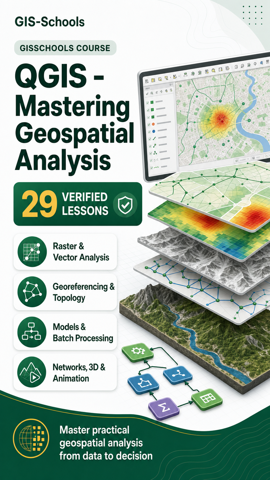
View resourceDevelop advanced QGIS skills across raster and vector analysis, topology, georeferencing, models, networks, 3D maps and automation.
Master practical geospatial analysis in QGIS through a comprehensive 29-lesson sequence. The Course combines the analytical, cartographic and data-management techniques required for confident project work.
You will style and process raster data, manage projections, correct topology, perform joins and spatial queries, create heatmaps and animations, automate work with batch processing and models, and solve network and service-area problems.
Learn QGIS Model Builder for Streamlined Geospatial Workflows using QGIS for professional geospatial analysis and mapping.
View resourceLearn Multi Criteria Overlay Analysis with QGIS using QGIS for professional geospatial analysis and mapping.
View resourceVisualize routes and networks in QGIS using vector layers and shortest path tools.
View resourceLearn Locating Nearest Facility with Origin, Destination Matrix with QGIS using QGIS for professional geospatial analysis and mapping.
View resourcePerform service area analysis in QGIS with OpenRouteService to define accessible zones around locations.
View resource